The View from ArcGIS for AutoCAD
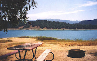
 I just got back from camping on a lake that you can’t swim in. In some ways it is a form of torture… on a hot summer day being so close to the water and not being able to jump in. The water in the reservoir can touch you, but you can’t touch the reservoir. We enjoyed canoeing on the reservoir, and with a little extra paddle splashing we managed to keep sufficiently cool in the summer sun. Still, I am wondering what problems are added to the domestic water supply with the advent of swimming in a lake that a rotting dear carcass, an active coyote population, and motor boat oil don’t already present? As a former Civil Engineering student I guess I should have paid more attention during the chapter on water treatment.
The no-cost downloadable ArcGIS for AutoCAD software currently provides me with an image drawn by ArcGIS Server, positioned accurately in my AutoCAD drawing. I can’t actually touch the GIS data from within AutoCAD, but I can see and plot the resulting image drawn by ArcGIS Server in AutoCAD. ArcGIS Server can touch me in AutoCAD with a world-class cartographic view of the reservoir of data along with access to the data’s tabular attributes (wherever they might be stored, I don't care since ArcGIS Server knows). The biggest benefit is the content of the map that gets drawn and the functionality of the application used to generate the image; namely ArcGIS Sever. All GIS data types supported by ArcGIS Server are now available to me in AutoCAD. All worries of mapping symbology and data access evaporate. I get the benefit and keep my cool doing it.
Our next camping trip is planned for the beach… right on the sand. We’ll have the entire Ocean right in front of us, and we plan to jump in!


0 Comments:
Post a Comment
<< Home