ArcGIS for AutoCAD Training Series: Part 4
It was great to meet so many
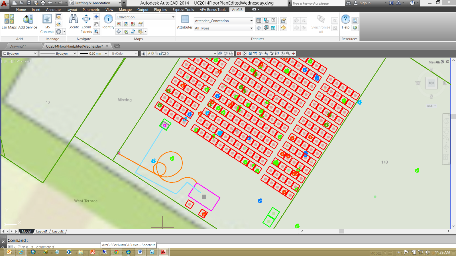
of you at this year's AEC Summit and the 2014 Esri International User's Conference. In my technical presentations the audience helped me
map the room that we were in. I created
a CAD file using ArcGIS for AutoCAD that I saved to a geodatabase using ArcGIS
for Desktop's ArcMap application. I
served out that resulting geodatabase in the form of Esri web services. Together with many of the audience members on their phones and tablets we edited that data together. I edited the feature services in AutoCAD using ArcGIS for
AutoCAD. I think it was a valuable
demonstration of the power of the ArcGIS system and how AutoCAD users can
contribute and interact with all of the users of the ArcGIS platform; stand-a-lone consultant, trusted CAD editors, web, mobile and desktop users all using ArcGIS.
I have also uploaded the 4th video in the on going training series for ArcGIS
for AutoCAD 350 (10 minutes YouTube: GISCADChannel). This particular session explains not only how to move schema information between drawings, but also how ArcGIS data is technically
stored within the .DWG file. Esri calls
this form of data the Mapping Specification for CAD or (MSC) data. ArcGIS for AutoCAD, ArcGIS for Desktop, Safe
Software's FME, Carlson Surveying Software and the ArcGIS Data Interoperability
Extension all read and write this form of MSC data.
posted by Don Kuehne at 11:53 AM
![]()
![]()


0 Comments:
Post a Comment
<< Home