July 30, 2014

ArcGIS Online Supports CAD Items for Storage, Sharing and Search

I have been having a good week in a home cooking sense; good food and a good variety.  Chicken cordon bleu, Sushi, fresh nectarine pie… were some highlights.  The best dishes don't have to have many ingredients.  Variety is good, and simple variety seems a really good way to go.

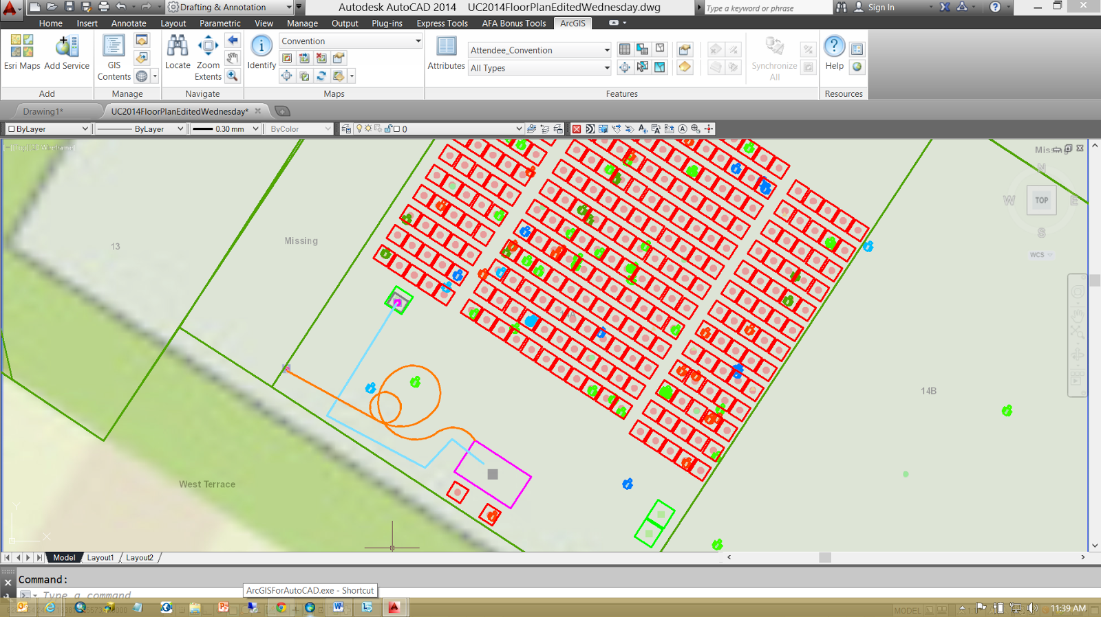
The latest update to ArcGIS Online includes a simple and subtle change for CAD.   CAD files packaged up as a .ZIP file are now uploadable and searchable as a file "item" on ArcGIS Online.  Similar to a ShapeFile you can now create a zip file of your CAD file(s) and upload it to ArcGIS Online and share it.  You can use it to store your CAD files or share them with others who can download it and collaborate.  This is a simple first step in a path to tighter integration of CAD and ArcGIS Online.

July 21, 2014

ArcGIS for AutoCAD Training Series: Part 4

It was great to meet so many of you at this year's AEC Summit and the 2014 Esri International User's Conference.  In my technical presentations the audience helped me map the room that we were in.  I created a CAD file using ArcGIS for AutoCAD that I saved to a geodatabase using ArcGIS for Desktop's ArcMap application.  I served out that resulting geodatabase in the form of Esri web services.  Together with many of the audience members on their phones and tablets we edited that data together.  I edited the feature services in AutoCAD using ArcGIS for AutoCAD.   I think it was a valuable demonstration of the power of the ArcGIS system and how AutoCAD users can contribute and interact with all of the users of the ArcGIS platform; stand-a-lone consultant, trusted CAD editors, web, mobile and desktop users all using ArcGIS. 

I have also uploaded the 4th video  in the on going training series for ArcGIS for AutoCAD 350 (10 minutes YouTube: GISCADChannel).  This particular session explains not only how to move schema information between drawings, but also how ArcGIS data is technically stored within the .DWG file.  Esri calls this form of data the Mapping Specification for CAD or (MSC) data.  ArcGIS for AutoCAD, ArcGIS for Desktop, Safe Software's FME, Carlson Surveying Software and the ArcGIS Data Interoperability Extension all read and write this form of MSC data.

July 03, 2014

ArcGIS for AutoCAD Training Series: Part 3

I am looking forward to meeting many of you at this year's Esri International Users Conference, where I will be presenting two offerings of the CAD: ArcGIS for AutoCAD Plug-in technical sessions (Tuesday and Wednesday @ 3:15 each day).
I am in the middle of sharing a video series, showing different ways to get ArcGIS data inside AutoCAD files.  In this video session I will focus on creating AutoCAD files using Esri's ArcGIS for Desktop applications ArcMap, ArcMap Extensions and Geoprocessing both on the desktop and server. I will then take a look at my results inside Esri's free ArcGIS for AutoCAD plug-in

A significant portion of the world's digital geographic data is stored in Esri Geodatabases.  GIS professionals use ArcMap to create maps and analyze geographic data that may then be published to the rest of ArcGIS System which in turn can be utilized by various GIS enabled applications.  In the previous session I demonstrated the ability of ArcGIS for AutoCAD to use ArcGIS for Server web feature services to access some of this data.   In this session I will highlight the tools of ArcGIS desktop to push ArcGIS data into AutoCAD files.
FREE hit counter and Internet traffic statistics from freestats.com